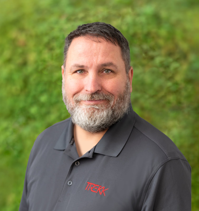
Michael Klasing, PLS, is the Survey Service Lead and oversees TREKK’s survey service line, which delivers
traditional survey, mobile, static and aerial LiDAR surveys, and photogrammetry services. He helps TREKK’s surveying teams in Kansas City, Columbia and Omaha deliver quality survey projects to both external and internal clients by setting project priorities and assisting with scheduling, high-level project coordination, QA/QC and project delivery strategies. He brings more than 28 years of experience in land surveying, with experience in both leadership and project management across multiple project types. His notable airport survey experience includes Springfield/Branson National Airport, Lamar Municipal Airport and Kansas City International Airport. Don Seals is the Survey/LiDAR manager for TREKK company-wide acquisitions with direct responsibility
for nationwide mobile LiDAR services. Don has 15 years of land surveying experience on multiple large- and small-scale LiDAR surveying projects using static and sUAS technologies. |
Macro vs Micro Aerial Photogrammetry and LiDAR for DOT Projects
Thursday, January 9, 2025, 3:30 - 5:30 p.m.
Aerial photogrammetry and LiDAR have proven their value in land surveying on large scale
transportation projects because they can collect a large area in a shorter time. But DOTs usually don’t
think about aerial acquisition on non-corridor and smaller projects, a carryover thought process from the
fixed wing application where cost of deployment had to compensate for project size. Because of their
portability and cost-efficient deployment, innovative uses of UAS have changed how land surveyors
collect data for engineering grade projects, whatever the scope size.
This presentation will examine a variety of both real-world macro and micro DOT projects using UAS
photogrammetry and LiDAR that provided added value from a bird’s eye acquisition for safer, more
complete and budget friendly survey data. We will learn to identify the collaborative protentional using
multiple acquisition tools compatible with UAV data using examples from acquisition on projects
highlighting highway engineering innovated technology tools combined with UAS and to finished
deliverable extraction tools using TopoDOT.
Finding the Right Tools for Every Project
Friday, January 10, 2025, 1:00-2:50 p.m.
Engineering grade surveying depends on quality trusted data from the start - it is the foundation to any
civil transportation design. Merging data from reality capture technology based on sound surveying
practices not only provides a more complete representation of the project environment void of occlusion
areas, but it also provides multiple cross QA/QC checks.
This presentation will show the survey practices and tools used during the US 62 St. Francis Bridge
project for the Missouri Department of Transportation. This project has many unusual environmental
and locational challenges, which required multitude of survey technology tools including static, mobile
mounted on a 6-wheel floating AVT, and sUAS (drone) to perform a topographic survey for bridge
replacement.