|
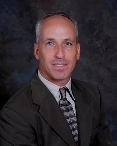
Eric B. Gladhill, PLS, serves as a Senior Client Manager at C. S. Davidson, Inc., in their Gettysburg office. He is licensed as a Property Line Surveyor in Maryland and a Professional Land Surveyor in Pennsylvania. He serves as a Chapter President and State Director for the Pennsylvania Society of Land Surveyors (PSLS) and is a member of the Maryland Society of Surveyors (MSS). He has appeared in Federal Court as an expert witness and has taught surveying and engineering classes as an adjunct professor at Harrisburg Area Community College. Mr. Gladhill has over 41 years of experience in the surveying profession and has become a writer as his career has taken him into the role of project manager and client manager His book Finding My Boundaries (Interesting People I’ve Met While Surveying) is available on Amazon. |
Colonial Surveys
Thursday, January 12, 2023, 8:00 a.m. - 9:50 a.m. OR Friday, January 13, 2023, 1:30 p.m. - 3:20 p.m.
This workshop will discuss the methods of surveying in the original land patents or grants that came from the colonial land holdings bequeathed by the English Crown. The various forms of measurement used, and the descriptions that were created by these surveys will be presented to inform the attendees on how these affect the surveys of today. Current deed descriptions and how they are used to resolve boundary locations will be shown. This workshop will also include the presentation of a case of eminent domain that went to federal court. This case concluded with somewhat of a landmark decision, in that the court ruled that private land owners had rights by adverse possession of lands held by a sovereign entity (State of Maryland).
Survey of the Mason Dixon
Thursday, January 12, 2023, 10:10 a.m. - 12:00 p.m. OR Friday, January 13, 2023, 3:40 p.m. - 5:30 p.m.
One of the greatest surveys of early colonial America took place to settle a land boundary dispute in the years between November 15, 1763 and September 11, 1768. The astronomers were sent over from the Greenwich Royal Observatory in England to perform the world’s first geodetic survey and set stones along the agreed-upon line of demarcation between the land grants from King Charles II to the Penns and Calverts.
Recently, the Maryland Society of Surveyors (MSS) and the Pennsylvania Society of Surveyors (PSLS) formed a joint effort to assist the Maryland Geological Survey (MGS) to help inventory the remaining Mason and Dixon stones in order to have them placed on the National Historic Registry.
This workshop will discuss the past and present of this historic line.


